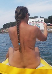
Nudist beach Plas van Bruil
tolerated nudist beach
Last visited 02-09-2020
 tolerated nudist beach |  surface 3 hectares |  free parking at 1100 m |
 bus stop at 15 minutes |  bicycle storage on the beach |  not suitable for the disabled |
 grazing by cows |  sloping bottom |  no dogs allowed |
 kiosk on 900 m |
 Swipe tabel om meer te zien
 General
The Stadsblok-Meinerswijk floodplain area is located in the heart of Arnhem, on the southern bank of the Lower Rhine. The nature reserve, approximately 450 hectares in size, is about two thirds under water during high water. The area consists of a number of lakes, which were created by clay extraction for the brick industry. The area has a nature and water storage function and is not designed for beach recreation.
The most northern lake, the lake of Bruil, was created by sand extraction for road construction. Although no-entry signs have been placed at the pond, both nude and textile recreation takes place around the entire pond.
As part of the "Space for the River" project, the summer dyke of the Lower Rhine was lowered in 2014 and a channel was dug on the west side that, during high water, forms a connection with the Bruis lake on this side.
At the moment there is plenty of recreation again, but there are plans ready to redesign the entire area. Despite a communication plan, the developer and the municipality have not contacted the nude holidaymakers who use this area. On the site stadsblokmeinerswijk.nl is the text "STADSBLOKKEN-MEINERSWIJK for everyone" so there must also be room for the nude holidaymakers.
At the end of 2020, the zoning plan for Urban Blocks Meinerswijk Area Development was adopted by the Arnhem city council. In these plans, the lake of Bruil will be extended in an easterly direction to the De Praets neighborhood. (see images below from the Masterplan Eilanden 3.0 Stadsblokken Meinerswijk) East of the Plas of Brouw comes to a peninsula with houses. Whether there is still room for (tolerance) nude recreation in the area after the large-scale redevelopment is highly questionable.

Current situation. (Masterplan Islands 3.0 City Blocks Meinerswijk)
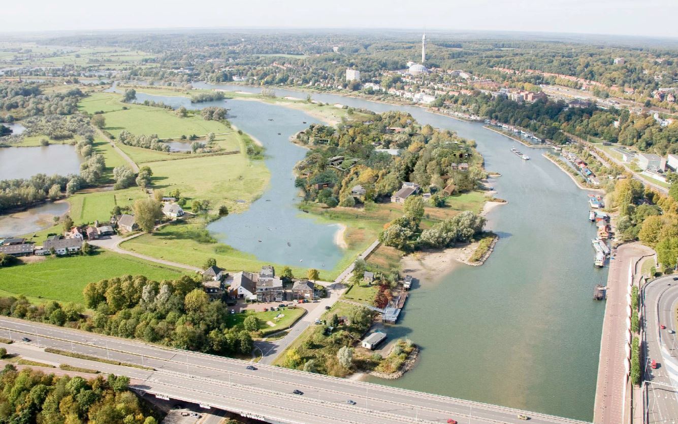
New situation. (Masterplan Islands 3.0 City Blocks Meinerswijk)
There is a dike along the lake, which means that the lake is hidden in the landscape. The high-rise buildings on the north bank of the Lower Rhine have (at a great distance) a view of the lake.
The beach consists only of meadows, there is no sandy beach. There is a lot of rubble along the shore. Cows are grazing in the area. There are no facilities on the nudist beach.
The municipality has indicated at the entrance that it is not a swimming place, which is checked for water quality and swimming safety. The lake has a depth of approximately 25 meters. The bathing water is clear. Along the north bank is a section of approximately 10 meters from the bank with a maximum depth of 1.80 metres. There is no defined swimming area.


